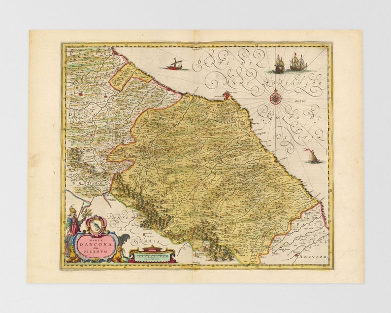
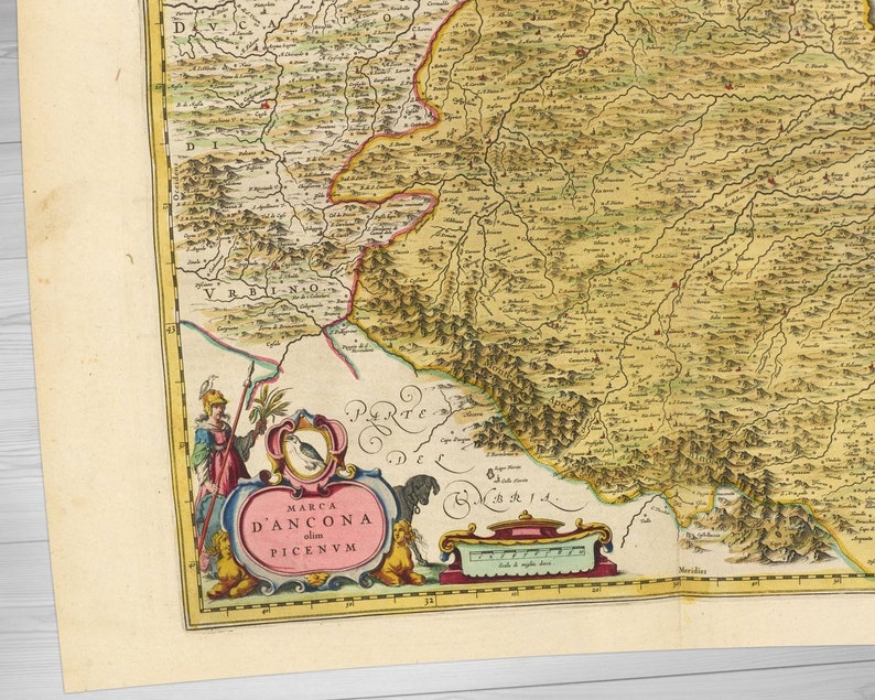
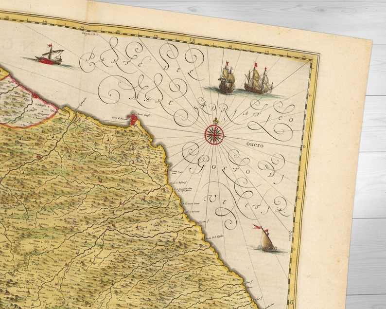
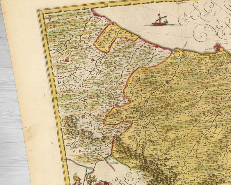
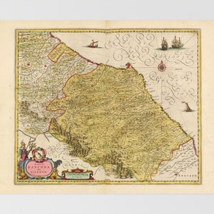
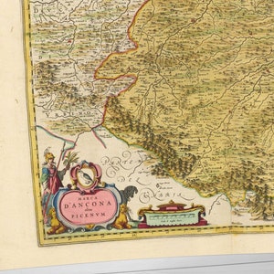
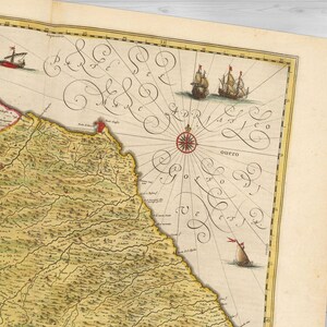
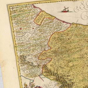
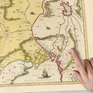
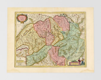
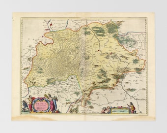
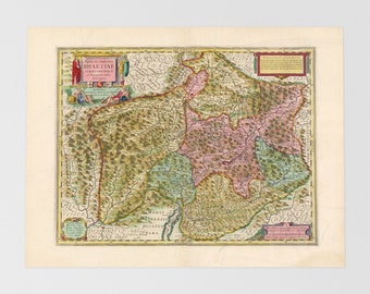
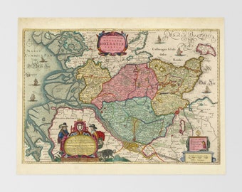
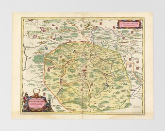
Antique map print of Marche region. The antique map titled 'Marca D'Ancona olim Picenvm' was created in 1665 and depicts the region of Ancona in central Italy during the early 17th century. The title translates to 'The March of Ancona, formerly Picenum'. At this time, Italy was a collection of independent city-states and territories, with the Papal States controlling much of central Italy, including Ancona. The region was known for its agriculture, particularly the production of wine and olive oil. The map may show the towns of Macerata and Tolentino, which were important centres of power and trade during this period. Overall, the map provides a fascinating glimpse into the political and economic landscape of central Italy in the 17th century. This old map print may also cover modern day Civitanova Marche, Porto Sant'elpidio, Recanati, Appennino Ligure, Tevere, Perugia, Potenza Picena, Corridonia, Sant'elpidio A Mare, San Severino Marche, Cingoli, Casenuove, Coste, Sambucheto, Padiglione.
More details on our website at: https://shop.blaeuprints.com/?p=41278
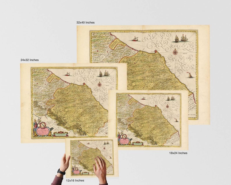
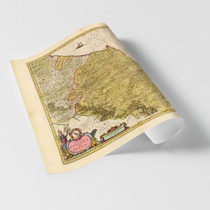
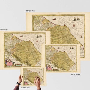
This antique map is available at a number of sizes outlined below. It should be noted that reproductions made at and above 45x60cm (18x24 Inches) will yield the very best results with the smallest details perfectly legible. If selecting sizes below 45x60cm please understand that fine detail, such as individual place names, will be very difficult to discern. Please note that framed prints can take up to 5 working days to produce.
Print Products Available:
Print Only
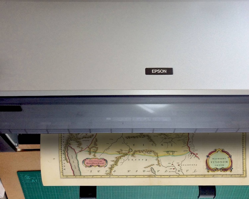
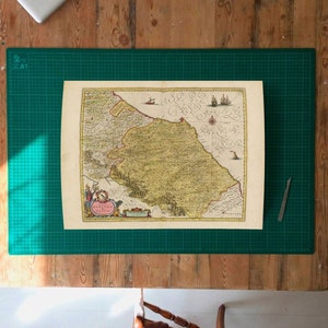
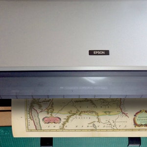
This is the highest possible quality fine art reproduction on 200gsm museum grade cotton rag crafted by Hahnemuhle. A true Giclee print. We recommend the original size 45x60cm (18x24 Inches) or larger to ensure all of the original detail is reproduced with impeccable accuracy. Your print will arrive in a solid cardboard tube.
• 100x135cm (40x53 Inches)
• 75x100cm (30x40 Inches)
• 61x80cm (24x32 Inches)
• 45x60cm (18x24 Inches)
— this size matches the original scale of the map
• 30x40cm (12x16 Inches)
— at this size the smallest details may be difficult to read
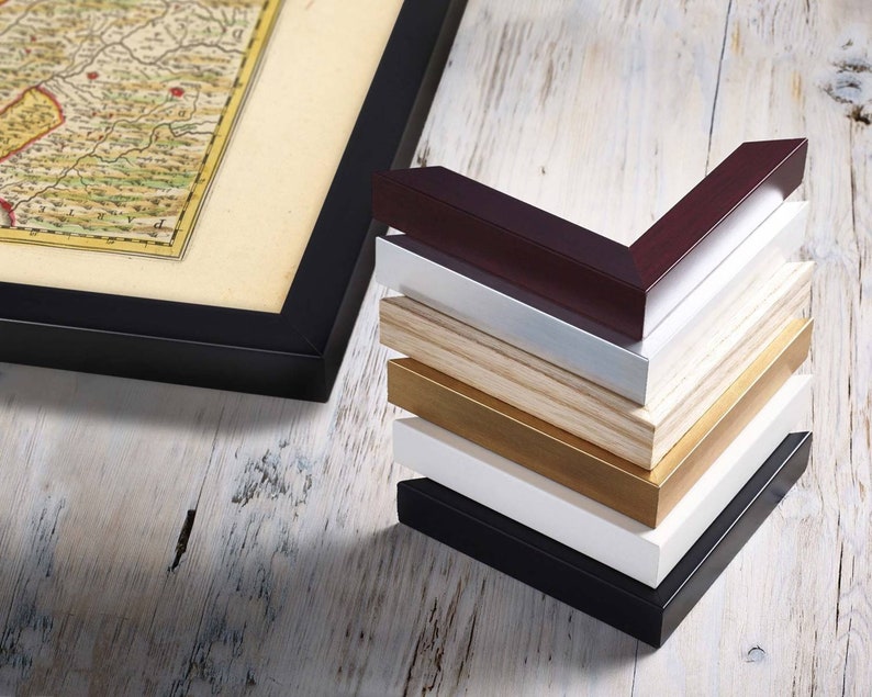
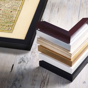
Framed Historical Map Print
The same 200gsm museum quality print in a solid wooden frame. Select from the colours available; natural, black, white, gold or silver. Framing is handled by a specialist Fine Art Guild framer. The frames are gazed with Perspex. Please contact us should you require a Custom Order as other frame colours and designs are available. Glass and non-reflective Glazes also available on request. Shipping may be delayed by 3-5 working days.
IMPORTANT:
Returns & Refunds
Each historical map print ordered here is custom made to order. Because of the nature of these items - as per EU and Scottish law - unless a print should arrive damaged or defective, We cannot accept returns.
Delivery
It could up to 3 working days to create your print and have it ready for dispatch. With the default “Standard Shipping” it might then take 2-6 working days to receive your order, there is no guaranteed tracking with the option. Upgrade: in Checkout please select “Express Shipping” to upgrade your order to a priority courier delivery. Delivery estimate is 1-3 days in the UK, EU & USA with worldwide tracking available. Please note that framed prints can take up to 5 working days to produce. Do contact me should you require a delivery by a specific date. Delivery estimates are not guaranteed.