Strait of Messina: a guide for sailors - all you need to know to navigate the strait safely
The Strait of Messina, feared by sailors, inhabited by mythological animals and named in greek and roman legends, has made quite a name for himself. Especially considering its size, a skinny strip of water just 3 kilometers (1.6 nautical miles) wide, at its narrowest point, and 32 kilometers (17 nautical miles) long.
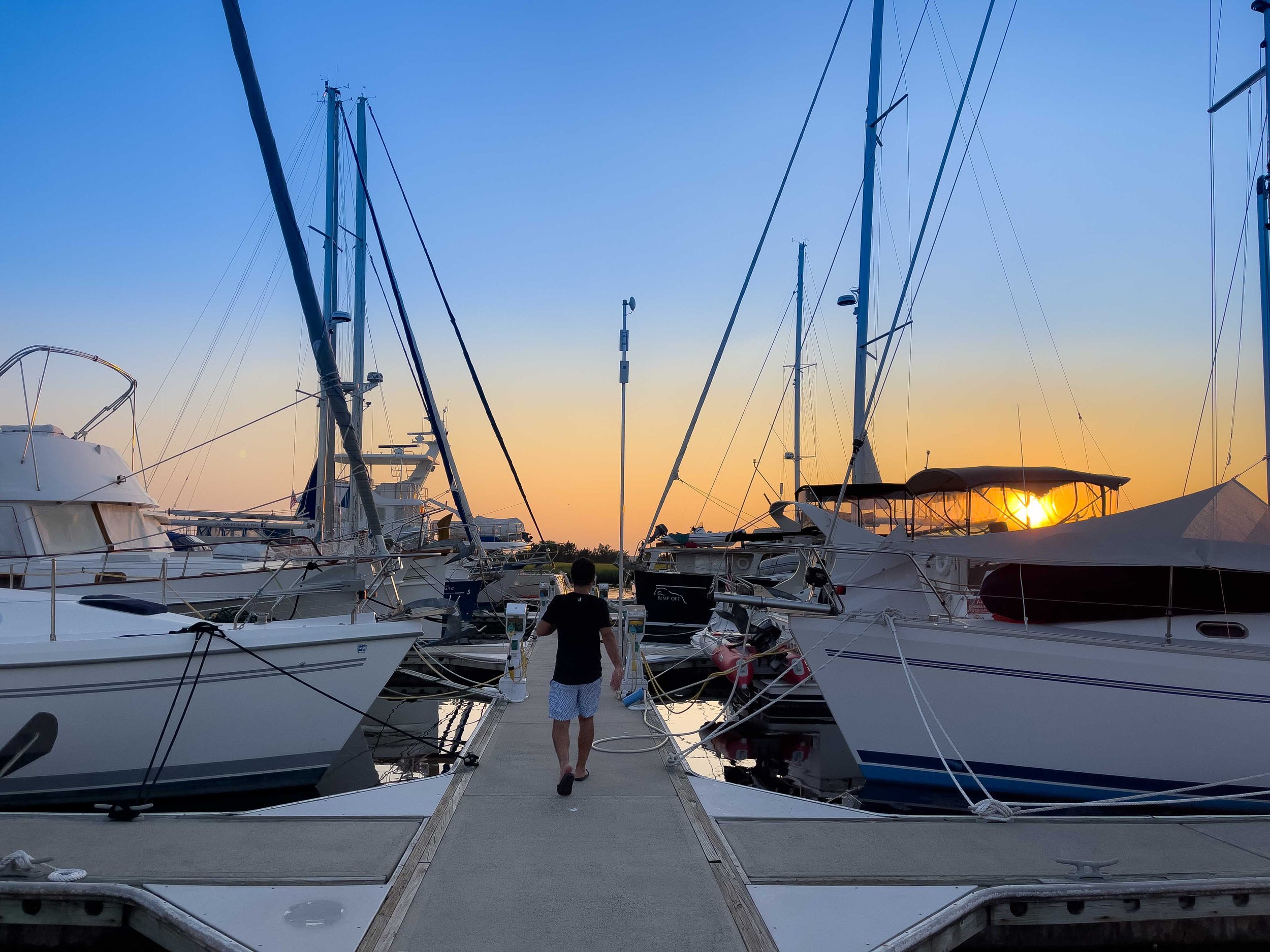
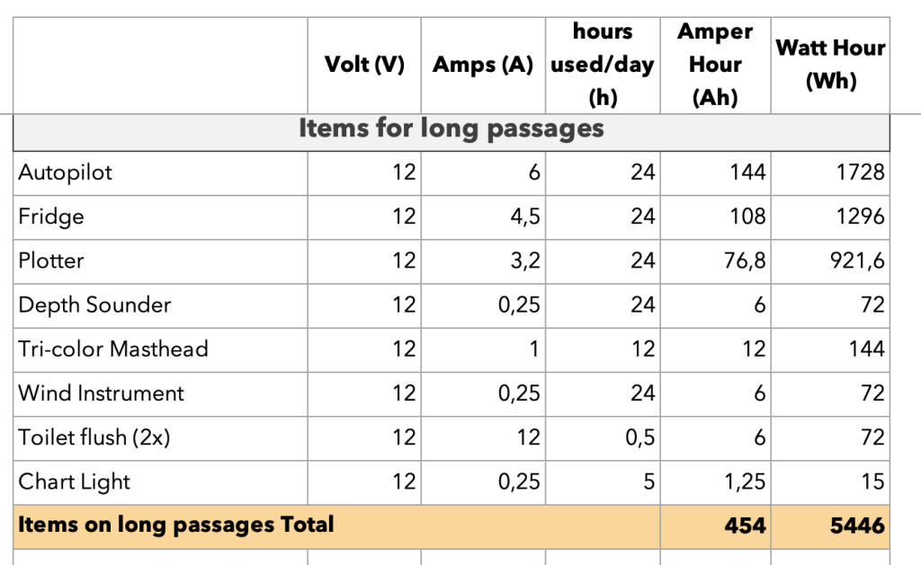
Entrance to the strait of messina on a sailboat
His popularity derives from the strong currents and whirlpools which populate the waters in the Strait. The same which have fueled myths and legends since the time of the Greeks. Most known are the myths of Scylla and Charybdis, two female sea monsters that plagued Odysseus and his crew on their journey.
Located between mainland Italy and the island Sicily, the Strait only reaches about 90 meters of depth. Yet for such a narrow, shallow water body, it has long posed problems for sailors. Therefore, we have collected all the necessary information for a safe and still adventurous passage through the renowned Strait of Messina, by sailing yacht or motorboat. You will find information about
For all the quick readers we have included a summary at the end of the blogpost "5 Steps for save passage"
Currents
The Strait of Messina connects the Tyrrhenian Sea in the North with the Ionian Sea in the South. The primary current runs from South to North, but a smaller current runs in the opposite direction. The currents alternate about every six hours, and the Strait's complicated wave patters can even be seen from space.
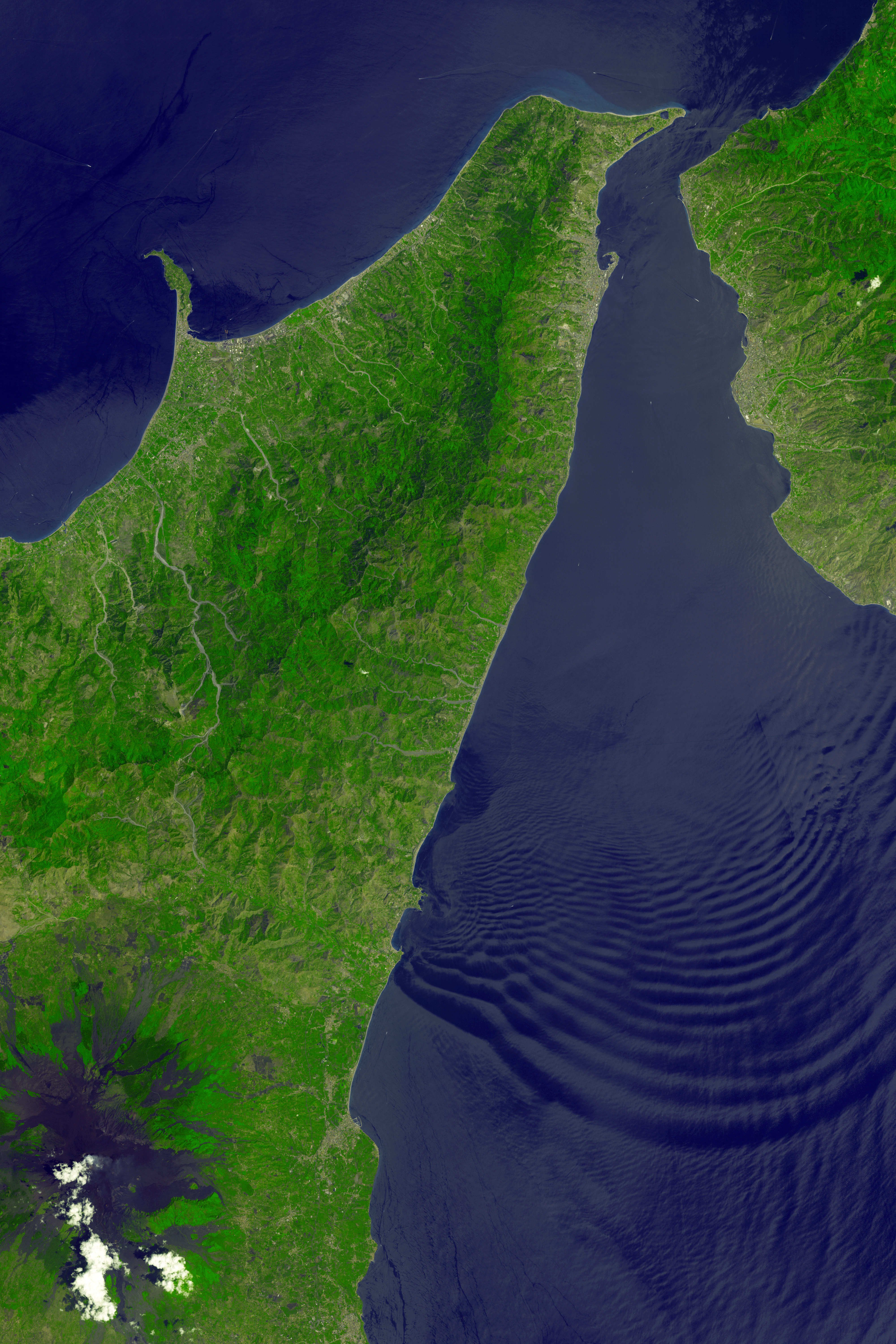
Credit: Nasa Earth Observatory
The submarine profile of the Strait can be compared to a mountain, whose summit is the "saddle" (along the Ganzirri-Punta Pezzo junction), whose opposite slopes have different gradients. From the Sicilian Tyrrhenian side, the seabed degrades slowly until it reaches 2,000 m at the island of Stromboli. On the other hand, in the southern part (Ionian Sea), the slope is very steep and a few kilometers from the "saddle" it is possible to record the depth of 500 m, whereas 2,000 m of depth are already reached at the center of the junction Capo Taormina - Capo d'Armi.
Besides the difference in sea depth, the Peculiarity of the currents is given due to the chemical-physical difference between the two seas (salinity, temperature and density) and the alternation of tides: When the Tyrrhenian sea is at high tide, the Ionian sea is at low tide and vice versa. You can visualize the Strait as a double funnel, with opposed tides of up to 27cm on each entrance. Due to the opposing tides, we can find two phenomena:
upwelling: with the prevalence of the ionic current (north-south direction), deep ionic waters are pushed by the tidal movements and go up the southern slope emerging in the central-northern part
when the Tyrrhenian current prevails, the waters of this basin pass south, but due to the lower density they are arranged exclusively on the surface; below thirty meters the balance is in favor of the ionic water

is your boat ready for off-shore sailing?
The previously described phenomena do impact the navigation of the Strait of Messina profoundly as they alter the movement of the waters by interfering with the currents.
Horizontal interferences: those are visible as waves, mainly present in Ganzirri, Torre Faro and Punta Pezzo. If paired with strong winds, which commonly occur in the straight, they can increase and create troubles for sailboats or motor yachts
Vertical interferences: those are more dangerous and have fueled the myths of sea monsters for thousands of years. The two most frequent ones are; Whirlpools, born due to colder waters ascending into warmer water, and Countercurrents, which form close to shore and are in the opposite direction of the current tide.
Most of the interferences are big enough to be seen by eye, so when passing the Strait, a sailsman must keep its eyes open for alterations in the water. In conclusion, the currents do, in fact, present considerable difficulties, as they can be so strong to tear seaweed from the bottom and sometimes throw up fish. However, nowadays, due to weather forecasts and knowledge about tides, safe passage is assured.

Vortex in the strait of messina
Sea Traffic
The Strait of Messina is used by large vessels as a short cut from the Tyrrhenian Sea to the Ionian without having to circumnavigate Sicily. Besides large ships, there is a high frequency of ferries that connect Sicily to Calabria and cross the Strait from E to W and vice versa, making the Strait a highly populated sea street. (Fun Fact: due to the inability of the Italian government to build a bridge over the straight, even the train which runs from Rome to Palermo is transferred on a ferry to pass the Strait of Messina)
To minimize the risk of collisions at sea, boat traffic is regulated, as I will describe below with the help of the following Navionics map.

We must imagine that the Strait is divided into two "lanes" by a virtual "centerline" represented with a purple stripe in the previous map. The units that are moving towards S are required to keep to W of this line, and consequently to navigate closer to Sicily. On the other hand, those that are moving towards N must keep E on that line and navigate closer to Calabria. The only way to go from one "lane" to another is to turn, counterclockwise, around the "roundabout" represented by the violet circle in the previous map.
Recreational boats should sail as close as possible to the coast to their right, paying close attention to the ferries that cross the Strait between Messina and Villa San Giovanni: bear in mind that ferries have priority in any case. For prudential purposes, at least in the stretch between Capo Peloro and Messina, it is advisable for sailing boats to sail with the jib lowered, avoiding, in any case, zigzag upwind courses with frequent and sudden changes of course.
Finally, you are required to check in with the coast guard, even if your a small vessel. Call VTS, inform them about your entrance and they will also be able to confirm if it is an appropriated time to pass the straight or if you should be waiting for a change in tides.
How much does it costs to maintain a sailboat?
Weather
The Strait of Messina, due to his geographical location, does create unstable weather conditions. In general, the winds tend to channel along the Strait and come from N in summer, and from S in spring and autumn. However, keep in mind the fact that throughout the area of the Strait the winds are strongly conditioned, in intensity and direction, by the orographic conformation of the Sicilian and Calabrian coasts.
We heard of several strange situations in which moments of almost total absence of wind alternated with others characterized by strong gusts of unpredictable direction that made the adjustment of the sails very difficult. The probability of such situations tends to increase in the event of unstable weather.
Lastly, fog and mist, frequent populate the Strait of Messina, especially in the months of May and June. Those do constitute a situation of danger, as they decrease the visibility in a channel populated by many ships.

Entrance to the strait of messina on a sailboat
Ports and Anchorages
The Strait of Messina has 3 ports (Messina, Reggio Calabria and Villa San Giovanni) as well as two other ports located in the municipality of Messina (Tremestrieri and San Francesco), generally used by private company ferries. Given the general conditions that can occur, it is useful to know the points where you can safely anchor while you wait for better conditions or the change of tides. These are for Sicily: Torre Faro, Ganzirri, Grotta, Paradiso, S. Francesco di Paola; instead on the Calabrian coast instead: Scilla, Marina di Porticello, Pentimele, Giunchi, Porto Salvo.

get ready for off-shore passages
In conclusion, we have summarised the most important facts for all sailors who are thinking of navigating through the straight of Messina,
5 Steps for a safe sail through the straight of Messina
Check the currents: The Strait of Messina is affected by currents directed towards N and towards S, which alternate with moments of calmness. These currents can (especially during the new moon and the full moon) take on significant intensities (up to about 5 knots), especially in the stretch of sea that goes from Capo Peloro (Sicily) to Punta Pezzo (Calabria). It is advisable to plan the passage taking into account these currents. In fact, confronting the passage with wind, sea and current in opposed direction can be unnecessarily dangerous. For this purpose, it is beneficial to consult sites that provide the current intensity tables, such as the site http://www.correntidellostretto.it
Navigate respecting the map. If your a small vessel, try to navigate closer to shore, as the currents do generally decrease in intensity. However, be aware of the risk of countercurrents, which does increase closer to shore.
Contact the coast guard when you enter. Firstly you have to inform them about your passage, and secondly, they will give you information regarding appropriated time frames to sail the canal.
Be aware while passing. Firstly there are many other boats in the Strait - secondly, you do not want to end up in a whirlpool or countercurrent. Even if they might not be dangerous, they are also not fun. Most of them you can see with your eyes, so keep a lookout.
Choose the motor over the sail. Yes, we know as sailors do hate to switch on the engine, especially if there is wind blowing. But if this is the first time passing the straight and your maybe not the most experienced sailor out there, we would recommend you to choose the motor this time. The hazards connected to the Strait have fueled myths for thousands of years, do not underestimate it.